Project Highlights
2026
Large Scale Mapping For UW-Madison Researchers
Using our Cessna 182 mapping platform we captured and processed imagery of the 1,200 acre Lodi Marsh in Lodi, WI. The resulting high resolution orthomosiac will be used for channel measurements and monitoring beaver activity.
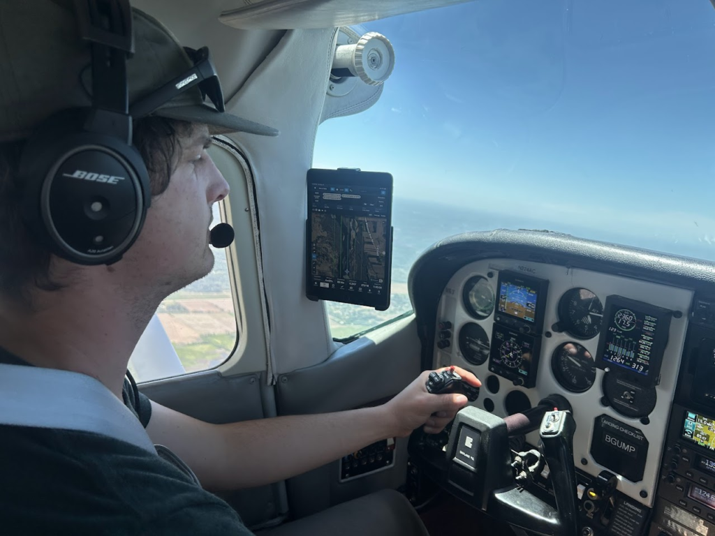

Colorado State LT-PBR Monitoring Paper Published
Covering Ground provided drone mapping and GIS analysis support for an in-depth study of LT-PBR effects in post fire watersheds. Check out the paper here: https://doi.org/10.1002/rra.70119
River’s Edge West Riparian Restoration Conference Speaker
In the winter of 2026, Ben was a speaker and panelist in the Low-Tech Process Based Restoration session alongside scientists and practitioners leading the way for LT-PBR implementation and monitoring.

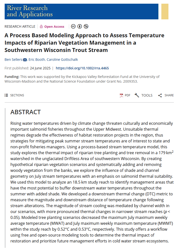
Stream Temperature Modeling Research Published
In June, 2025 Ben’s river temperature modeling research was published in a peer reviewed scientific journal. This project involved countless hours of field work, GIS/Remote sensing analysis, programming, statistical modeling, and writing. Ben is excited to have his work live on and hopes it helps inform stream restoration and future modeling efforts. The article is available for free through an open-access license – here’s the link: https://doi.org/10.1002/rra.4465.
Coalition For the Poudre River Watershed: Restoration Monitoring
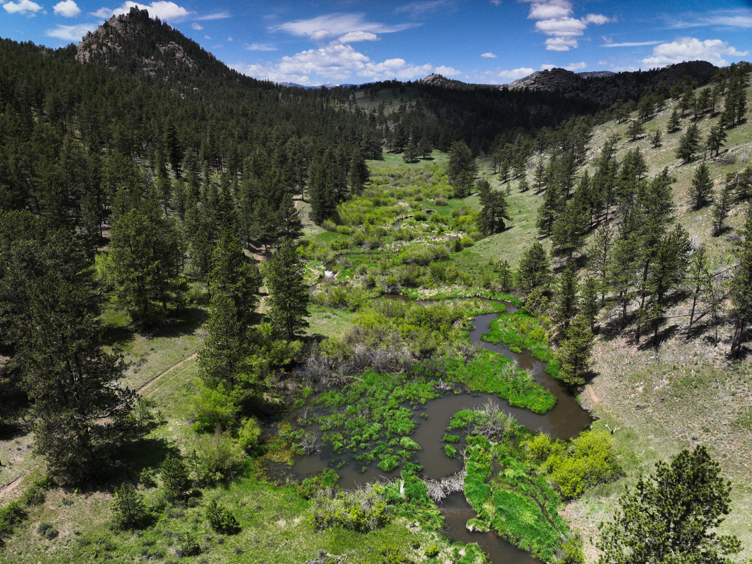
During the Spring of 2025, CG Mapping collected data at multiple project sites in the Cache La Poudre watershed to support CPRW’s ongoing restoration monitoring efforts. Data collection was timed to align with peak flows in the region and offer a baseline to compare water extents, vegetation, and restoration effectiveness over time
2024
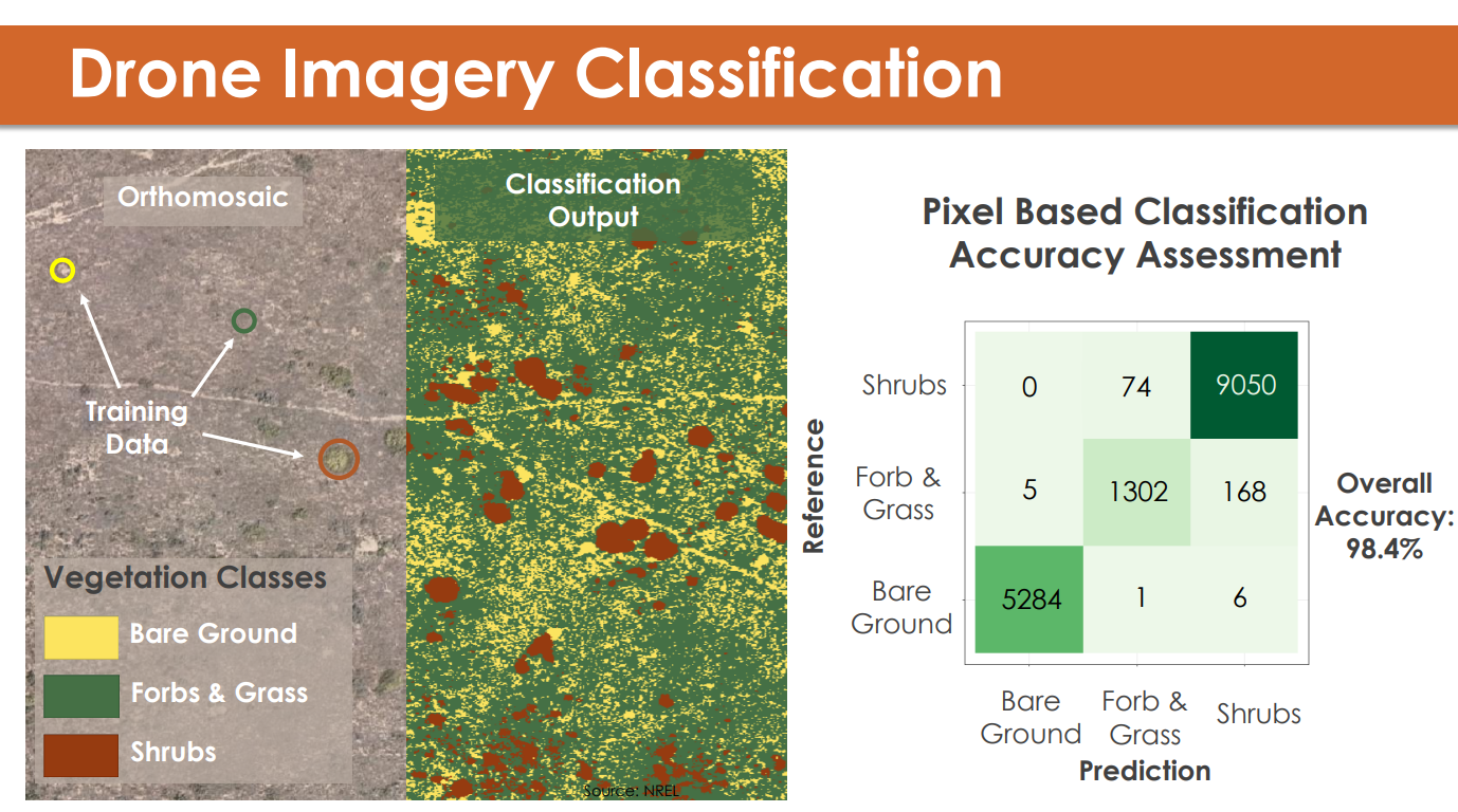
NASA Develop: Rangeland Monitoring with Drones
In the Fall of 2024, Ben worked with a team of scientists at NASA to support ranchers in Northwest Colorado interested in the use of drone mapping technology to improve their sustainable grazing techniques. As part of this project Ben developed a workflow to precisely identify and quantify bare soil and vegetation from drone imagery layers.
Colorado State Riverscape Restoration Monitoring
In the spring of 2024, CG Mapping provided precision drone map layers and GIS support to researchers in the Preston Lab at CSU investigating the effects of Low Tech Process Based Restoration on fish habitat and forage. Our maps were used in tandem with fish and insect surveys to quantify habitat area and fish population information to help better understand the effect large wood additions and beaver dam analogs have on high elevation stream ecosystems.
2023
Wisconsin DNR Drone Mapping Support
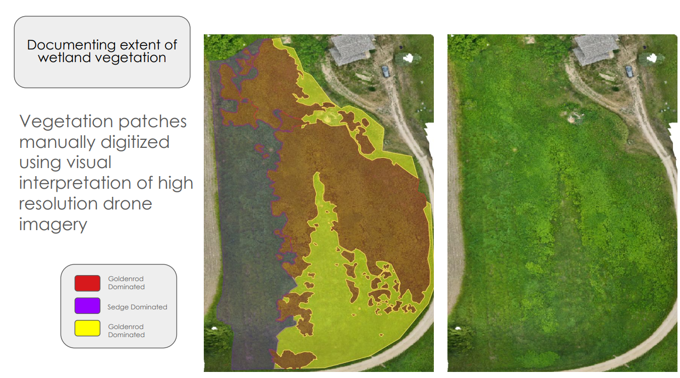
Beginning in 2023, CG Mapping has provided support to water quality monitoring staff at the Wisconsin DNR exploring the use of drones and GIS in ecosystem monitoring. Applications have included invasive species monitoring, stream habitat surveys, sensitive species mapping, and geomorphic assessments.