About Us
About Us
Pixels & Planes
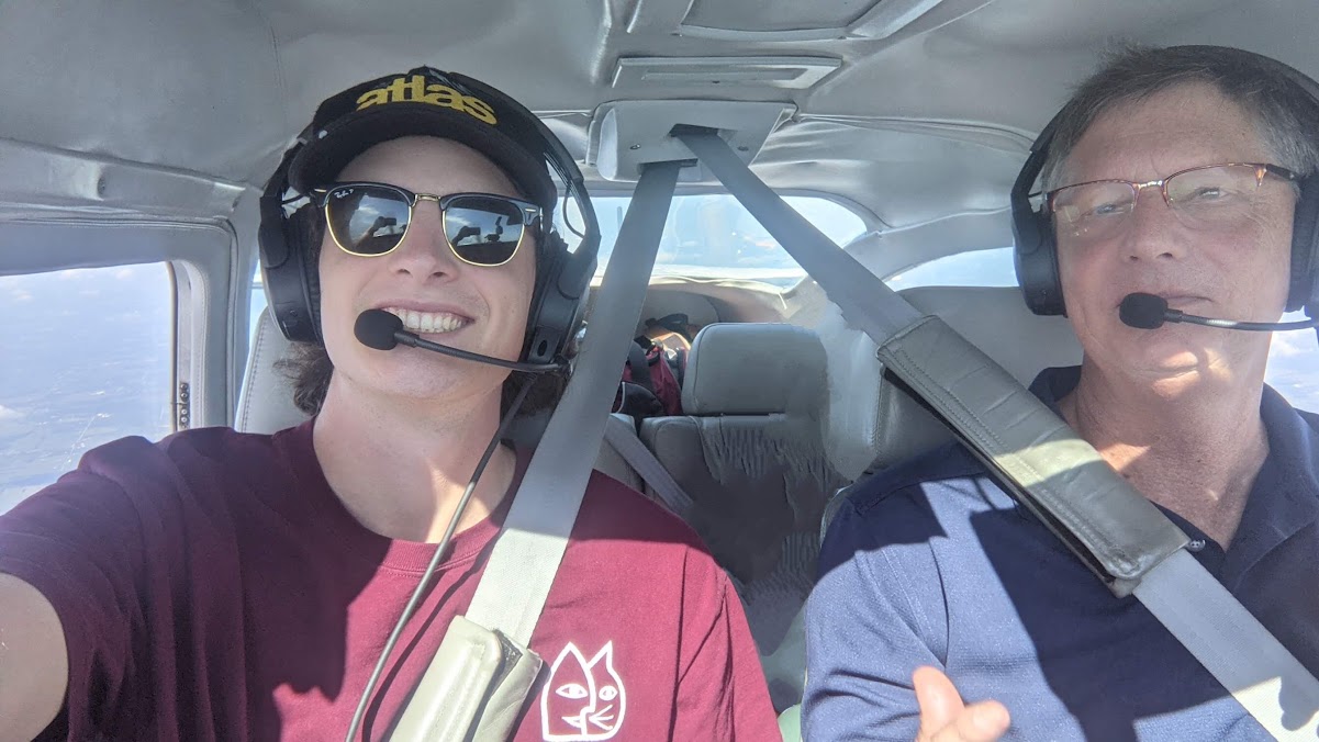
Our broad experience in GIS, remote sensing, environmental science, commercial construction, and aviation make us uniquely capable of not only collecting accurate aerial data, but understanding our clients application and needs.
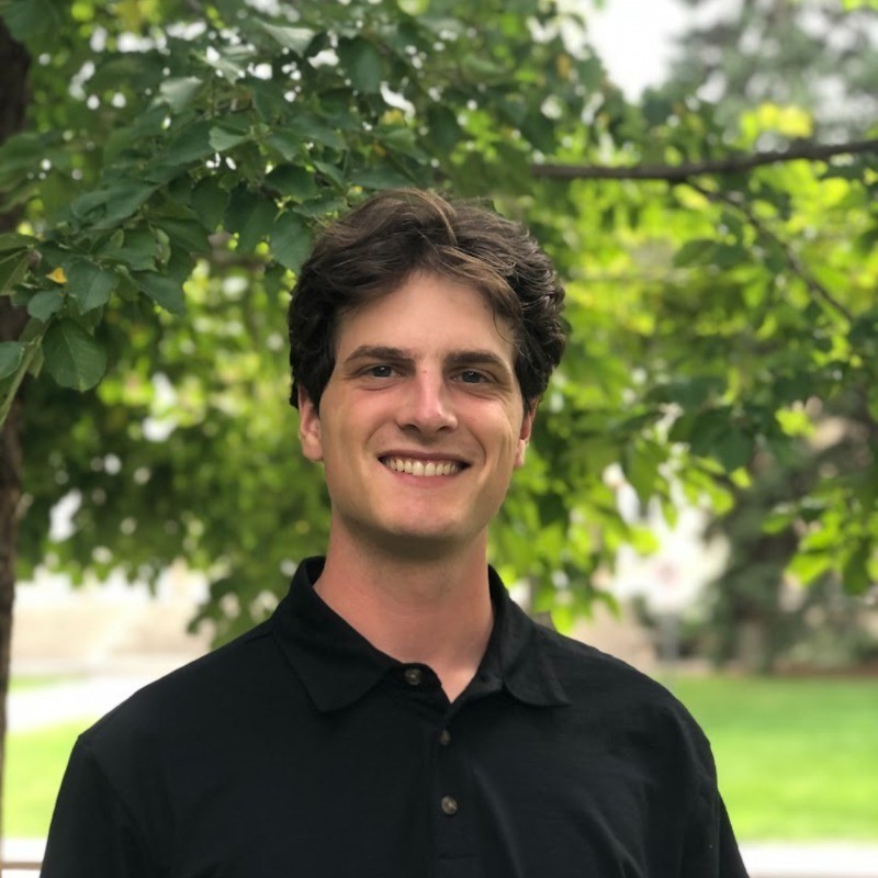
Ben Sellers
GIS & Remote Sensing Specialist, Pilot
Ben is a river scientist and commercial pilot specializing in GIS, remote sensing, and statistical analysis to support natural resource management. He has accumulated a broad experience in forestry, fisheries science, watershed management, agriculture, and rangeland monitoring. Ben holds a bachelors in Forest Science and a master’s in Environmental Science, both from the University of Wisconsin-Madison. His approach to environmental questions is guided by on-the-ground knowledge from years of field work, scientific research, and outdoor experience. Applying advanced technology and insights from the scientific literature, Ben helps clients maximize the utility of their GIS and mapping data. In 2023 he founded Covering Ground Mapping to bridge gaps between researchers and practitioners by providing mapping services and GIS support.
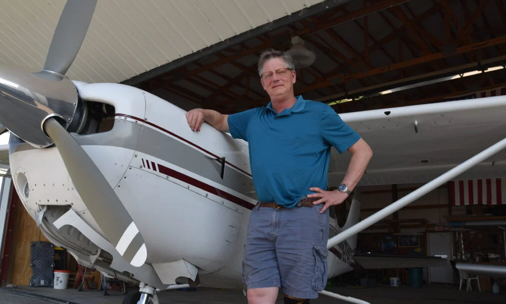
Scott Sellers
Survey Pilot, Aircraft Maintenance
A pilot for over 50 years, Scott’s expertise in the safe operation and meticulous maintenance of small aircraft is a critical piece of CG Mapping’s large scale mapping efforts. For decades he operated an aerial photography business, serving the commercial construction markets in the Great Lakes region in his Cessna 182. Scott is a steward of general aviation, mentoring dozens of young pilots through a non-profit flying camp he founded in southeast Wisconsin. He continues to develop and share his hard earned knowledge with the aviation community through an online platform he developed for Cessna owners at Cessnar182.com.